
Precision Imagery, Simplified Design
Streamlining Projects with Accurate Drone Mapping and 3D Designs.

How We Help Businesses Sell More
3D Designs That Help You Close Faster.
ProTerra Imagery transforms your ideas into powerful, photo-realistic 3D experiences that captivate clients and drive decisions. By showing exactly what their space will look like, you remove hesitation, build trust, and move projects forward faster. With precision site data behind every design, you’ll stand out as the professional who delivers clarity, confidence, and results.
Map. Measure. Build Better.
ProTerra Imagery delivers centimeter-accurate site data converted into immersive, cloud-hosted 3D environments. Our technology gives contractors the clarity and precision they need to plan, design, and build smarter.
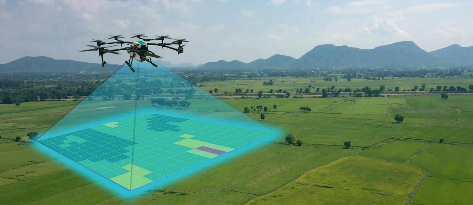
Take-Offs Made Easy, Fast & Accurate
Capturing take-offs used to mean tape measures, manual sketches, and endless site visits. With ProTerra Imagery, those days are over. Our drone-based site mapping captures every inch of your project in stunning detail—providing precise measurements, surface contours, and true-to-scale data you can trust.
Whether you’re estimating materials, grading a site, or planning utilities, our high-resolution orthomosaics and 3D models eliminate guesswork and save hours of fieldwork. The result: faster, more accurate take-offs that help you bid confidently and keep projects on schedule.
Capture attention and inspire confident offers.
Turn Viewers Into Buyers with Immersive Property Tours
Before you meet with contractors face-to-face, it’s important to have a clear plan. Our free online consultation gives you the opportunity to discuss your goals, ask questions, and see if our services are the right fit for your project. Through a quick phone call or video chat, we’ll gather the key details needed to prepare you for productive conversations with contractors. This ensures you’re informed, ready, and in control from the very first meeting. Don’t waste time — start with insight!
See Your Listings from a Whole New Angle
Drone Imagery That Moves Buyers.

At ProTerra Imagery, we elevate real estate marketing with breathtaking aerial photography and video that showcase every property’s true potential. Using state-of-the-art drones and precision flight mapping, we capture stunning overhead views that highlight layout, landscape, and location in ways traditional photography can’t. Whether you’re promoting a luxury estate, commercial development, or residential community, our aerial imagery gives buyers a complete perspective—instantly communicating value, scale, and setting. The result is more engagement, stronger first impressions, and listings that stand out from every angle.