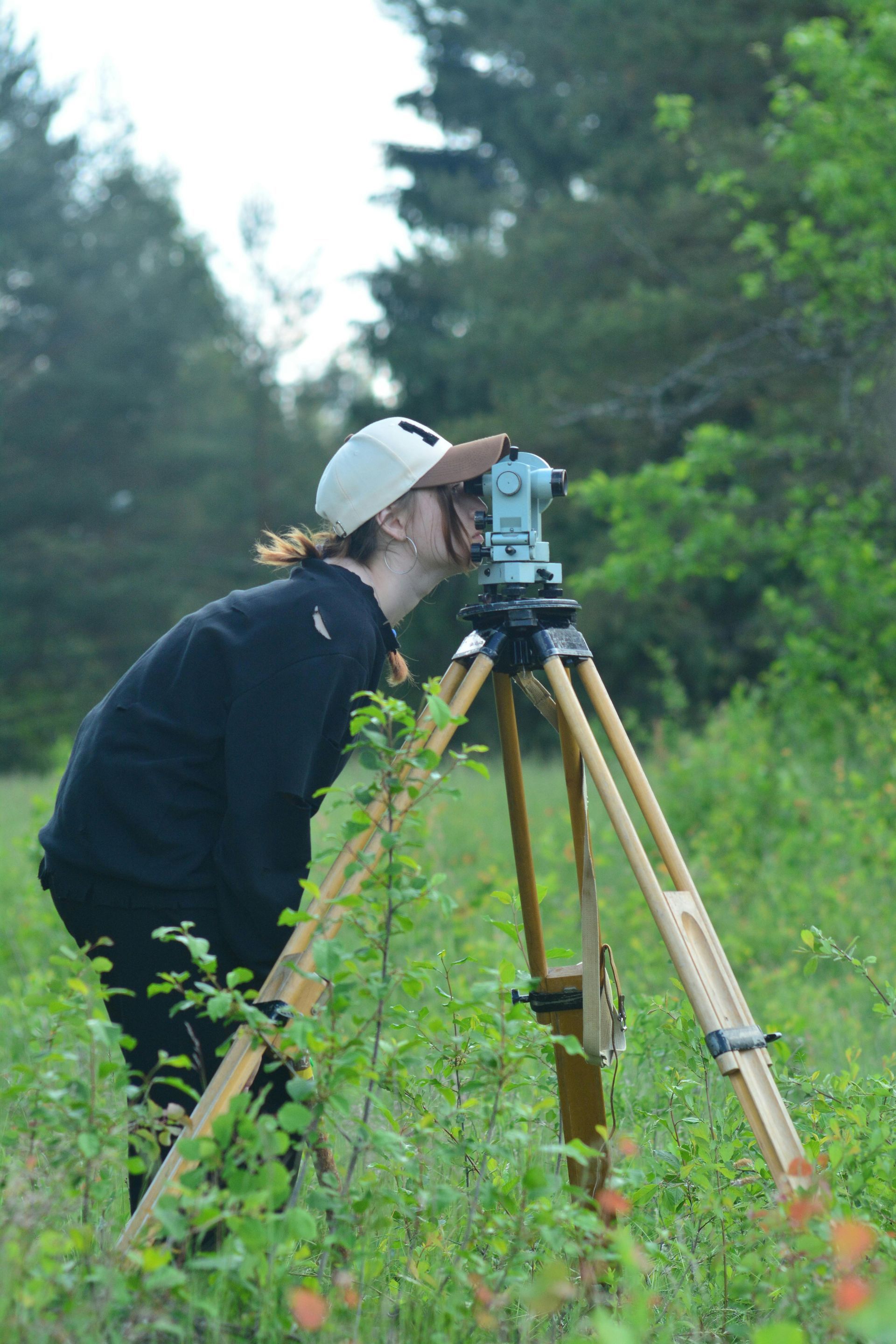
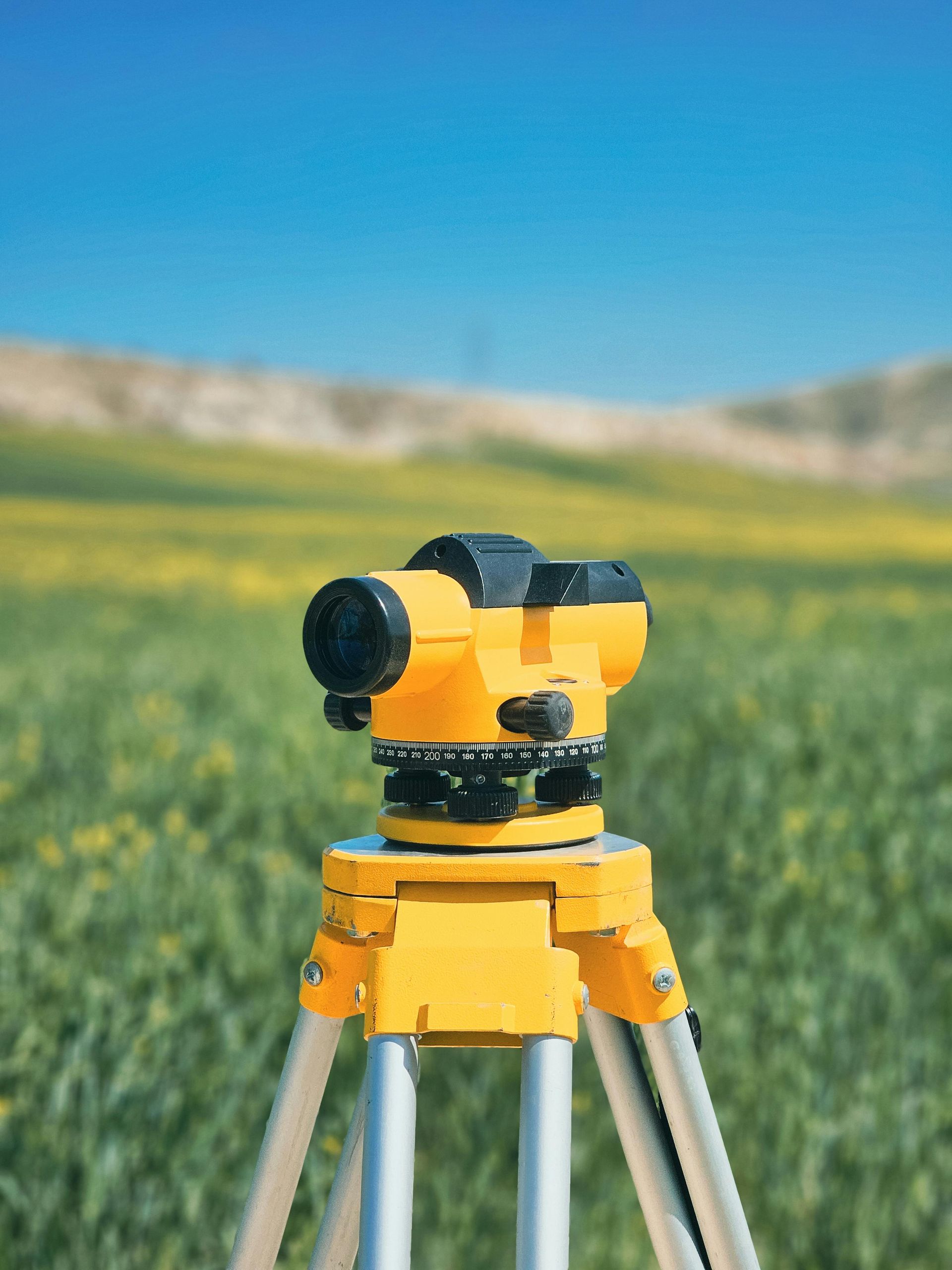
logo

Surveyors & Mapping

We provide a wide range of professional services to meet your needs. We promise to provide every service with a smile and to your highest level of satisfaction.

Revolutionize Your Workflow With Photogrammetric Services

Surveyors using photogrammetry can typically accomplish their work 2 to 5 times faster than traditional surveying methods, depending on the project's size and complexity. Photogrammetry allows for rapid data collection using drones or other imaging equipment, covering large areas in a fraction of the time it takes for manual measurements. Additionally, it reduces the need for extensive on-site labor and minimizes disruption, further speeding up the process.

Aerial Imagery

Capture stunning aerial views of properties that highlight both the buildings and the surrounding landscape. These unique perspectives reveal aspects that traditional photography can't, offering a deeper understanding of a property's location. Aerial photography allows potential buyers to appreciate the area's beauty and layout from above, helping them envision the lifestyle and community associated with the property.

3D Models & Orthomosaic Maps

Offer interactive models and high-resolution maps that help potential buyers understand the property's layout and features while providing immersive visualization. These tools should present various perspectives of both the interior and exterior, enhancing buyers' experiences. By supplying these visual aids, we can keep prospective buyers informed and engaged, making it easier for them to envision themselves in the space.

Interior Scans & Floorplans

Enhance your listings with precise interior scans and detailed floorplans that offer buyers a clear understanding of the home's space and flow before visiting. This innovative approach highlights unique features and helps buyers envision navigating each room, fostering a personal connection. By providing this detail, you create a more engaging experience that facilitates quicker decisions and successful sales.

Common Applications

By partnering with ProTerra Imagery, surveying companies can enhance efficiency, expand their service offerings, and gain a competitive edge in the industry.

Measure With Ease

Traditional land surveying methods can be time-consuming and labor-intensive. ProTerra Imagery's drone-based mapping technology captures high-resolution aerial data in a fraction of the time, reducing fieldwork hours and accelerating project timelines without sacrificing accuracy.

In every bottle

Our aerial photogrammetry and LiDAR-based data collection provide precise topographic maps, elevation models, and volumetric measurements, supporting surveyors with the detailed site data they need for land development, construction, and infrastructure projects.

Beautiful skin

Drones can efficiently capture data from large, remote, or hazardous terrain that may be difficult or unsafe for surveyors to access on foot. This improves efficiency and safety while allowing survey companies to take on more complex projects with ease.

Showcase Your Work!

By leveraging ProTerra’s drone mapping services, surveying firms can reduce equipment costs and manpower requirements, allowing them to take on more jobs without increasing operational expenses. Our aerial data enhances traditional surveying workflows, making them more efficient and profitable.

The Format You Need When You Need It

Our high-resolution orthomosaic maps, DEMs (Digital Elevation Models), and 3D site models are compatible with industry-standard GIS and CAD software, allowing surveyors to easily integrate ProTerra's data into their existing workflows for boundary surveys, site analysis, and land development planning.

  • Data Collection

    Traditional land surveying methods can be time-consuming and labor-intensive. ProTerra Imagery's drone-based mapping technology captures high-resolution aerial data in a fraction of the time, reducing fieldwork hours and accelerating project timelines without sacrificing accuracy.

  • Accuracy

    Our aerial photogrammetry and LiDAR-based data collection provide precise topographic maps, elevation models, and volumetric measurements, supporting surveyors with the detailed site data they need for land development, construction, and infrastructure projects.

  • Accessability

    Drones can efficiently capture data from large, remote, or hazardous terrain that may be difficult or unsafe for surveyors to access on foot. This improves efficiency and safety while allowing survey companies to take on more complex projects with ease.

  • Cost Effective

    By leveraging ProTerra's drone mapping services, surveying firms can reduce equipment costs and manpower requirements, allowing them to take on more jobs without increasing operational expenses. Our aerial data enhances traditional surveying workflows, making them more efficient and profitable.

  • Integration

    Our high-resolution orthomosaic maps, DEMs (Digital Elevation Models), and 3D site models are compatible with industry-standard GIS and CAD software, allowing surveyors to easily integrate ProTerra's data into their existing workflows for boundary surveys, site analysis, and land development planning.

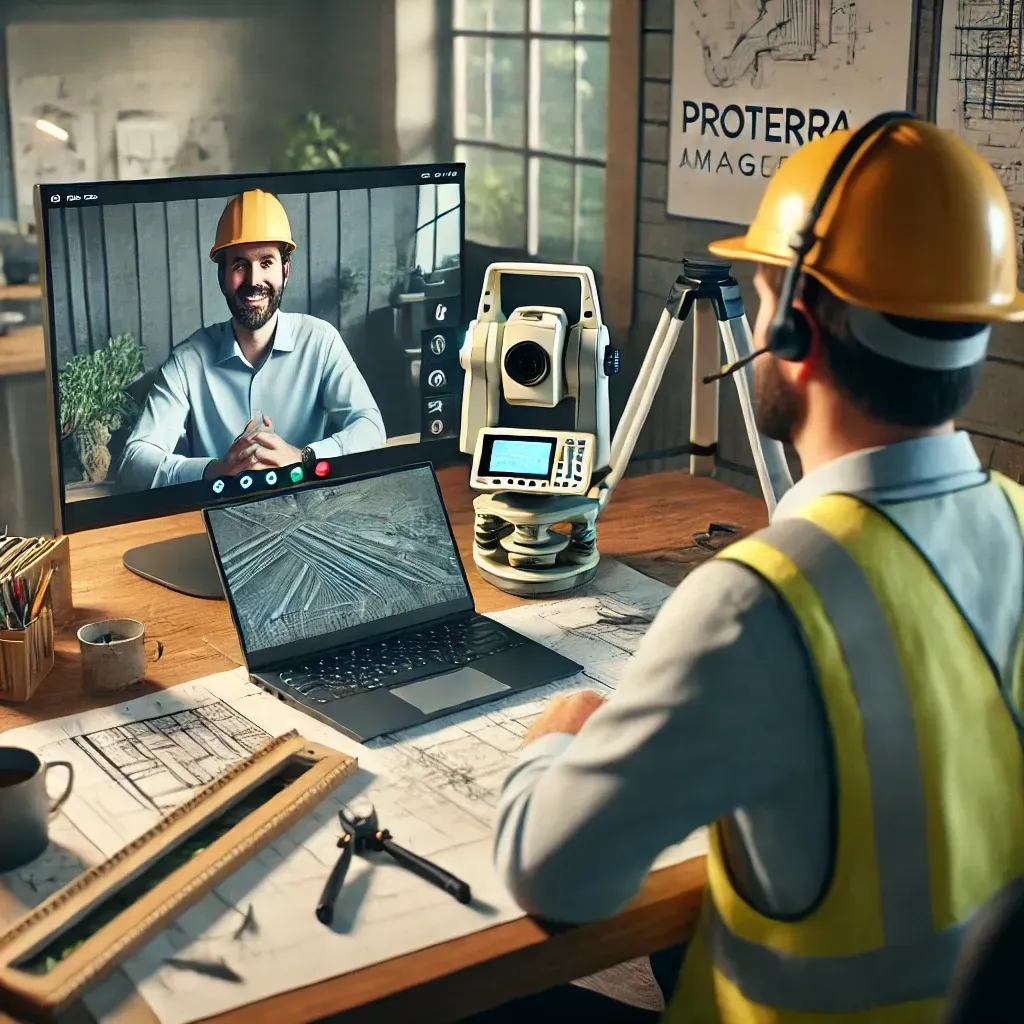
Contact Us to See How ProTerra Can Elevate Your Business

At ProTerra Imagery, we understand the challenges surveyors face in today’s fast-paced environment. We invite you to reach out for a face-to-face or remote meeting to discuss your current methods and explore how our cutting-edge drone technology can seamlessly complement your workflow. Let’s collaborate to enhance your project planning and presentation, ensuring you can bring your clients’ visions to life with unparalleled accuracy and efficiency. We’re excited to help elevate your work!


Contact Us

Ready to take your projects to the next level? Fill out the contact form below, and let ProTerra Imagery help you transform your ideas into stunning 3D models!

Share by: